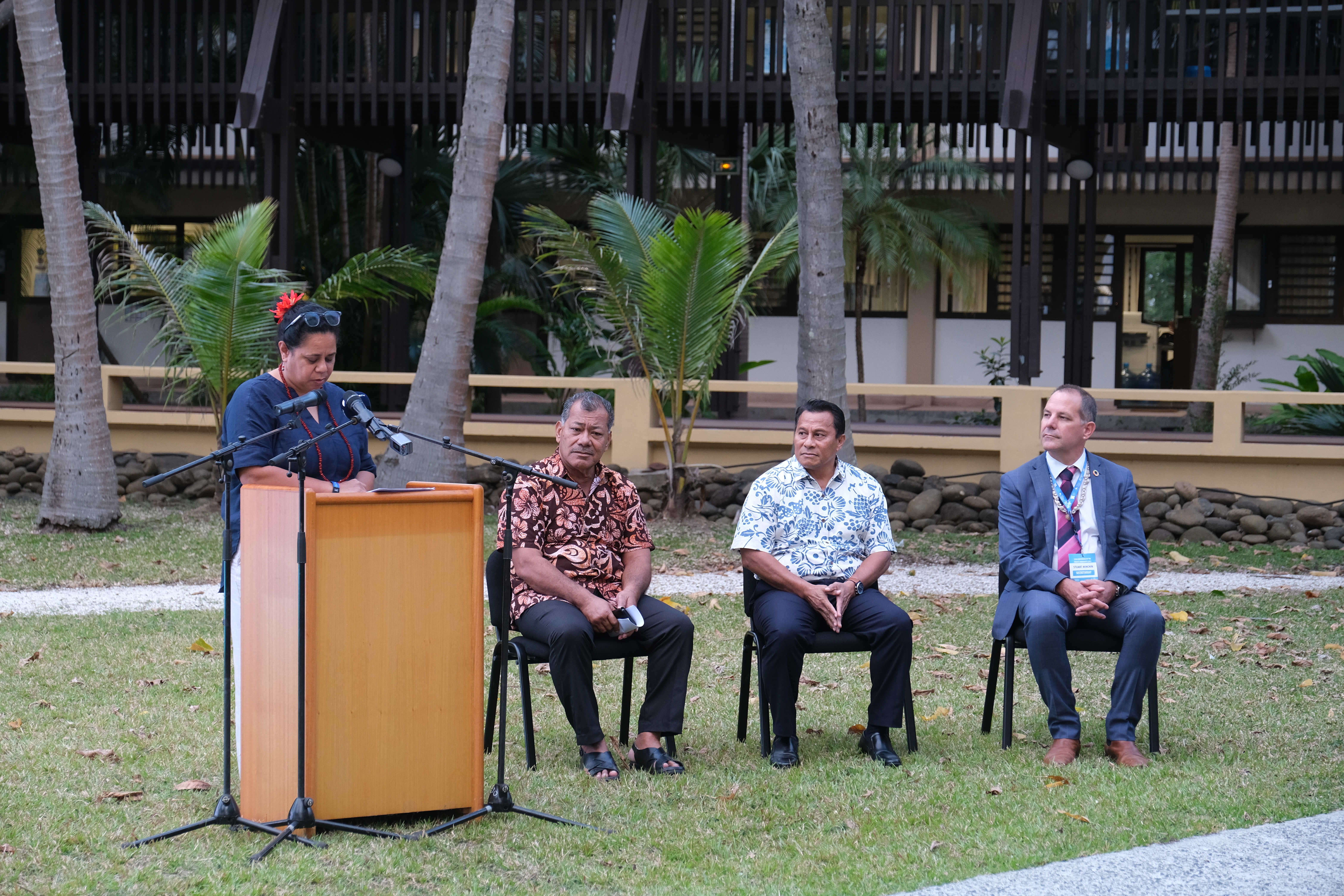
The Pacific Community (SPC) launched Digital Earth Pacific as part of its 53rd meeting of the Committee of Representatives of Governments and Administrations and 13th Conference in Noumea, New Caledonia.
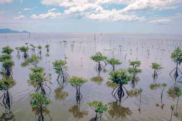
This new digital public infrastructure unlocks access to Earth observation data and insights that show the changes occurring for every single island across our vast Blue Pacific region. As a regional public good, all products and services are free and open and will be regularly updated using global satellite systems, making it cost-effective and accessible to Leaders, Ministers, and decision-makers all over the Pacific.
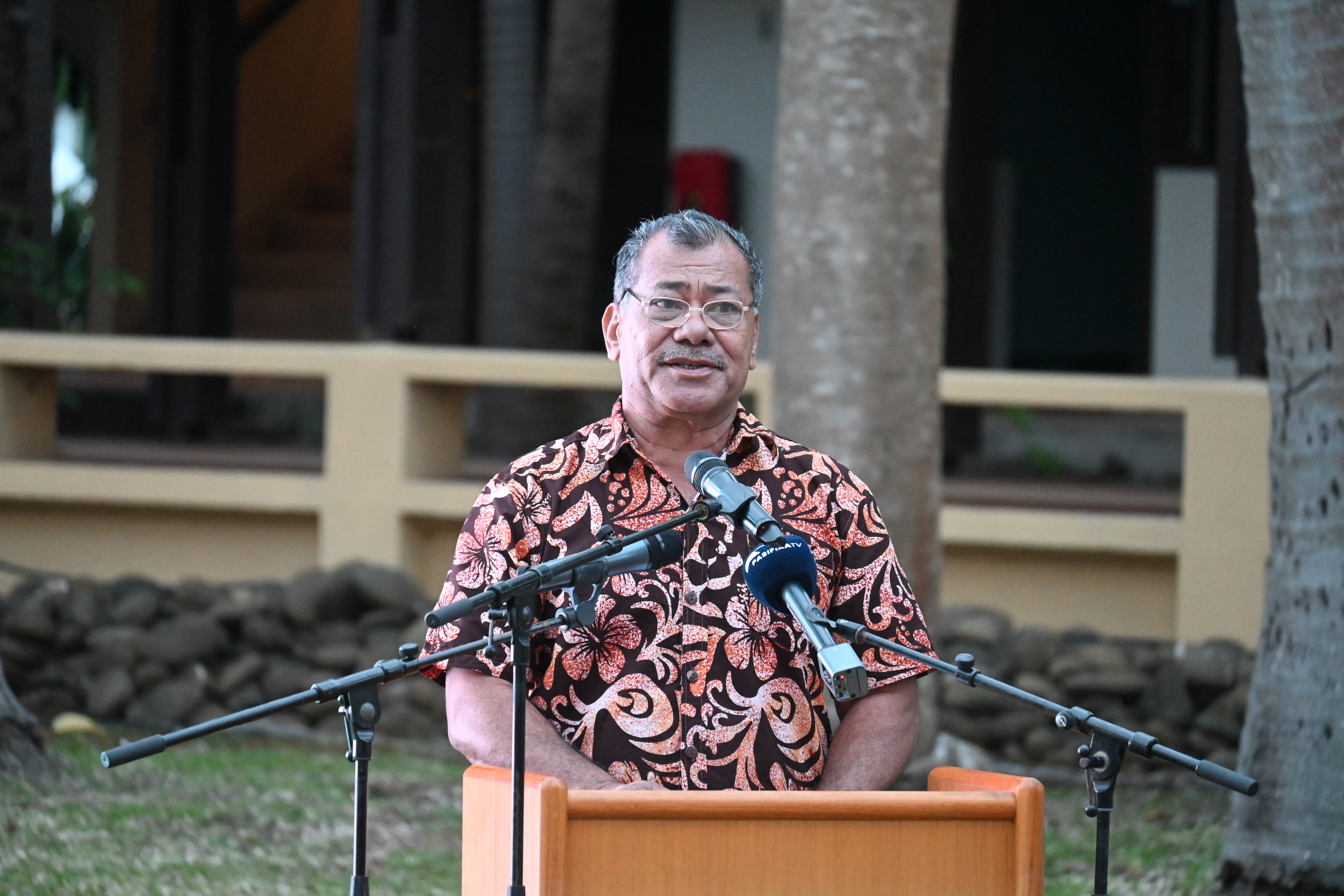
The launch was officiated by Vice-President of the Federated States of Micronesia, Honourable Aren B Palik, who expressed how critical tools like this will be for the FSM.
“We hear constantly about the need to have timely, accessible, and relevant data, but in the FSM, we have more than 600 islands and a population of approximately 110,000 people spread across more than 2.9 million square kilometres of ocean".
"We have been told that to access very high-resolution data for all of our islands would exceed USD $15 million. This is just for the data. Not including the computing infrastructure and human resources required to process the data into information. You can understand the need to find complimentary solutions, and this is why I am proud to stand here today with the unlocking of Digital Earth Pacific,” he stated.
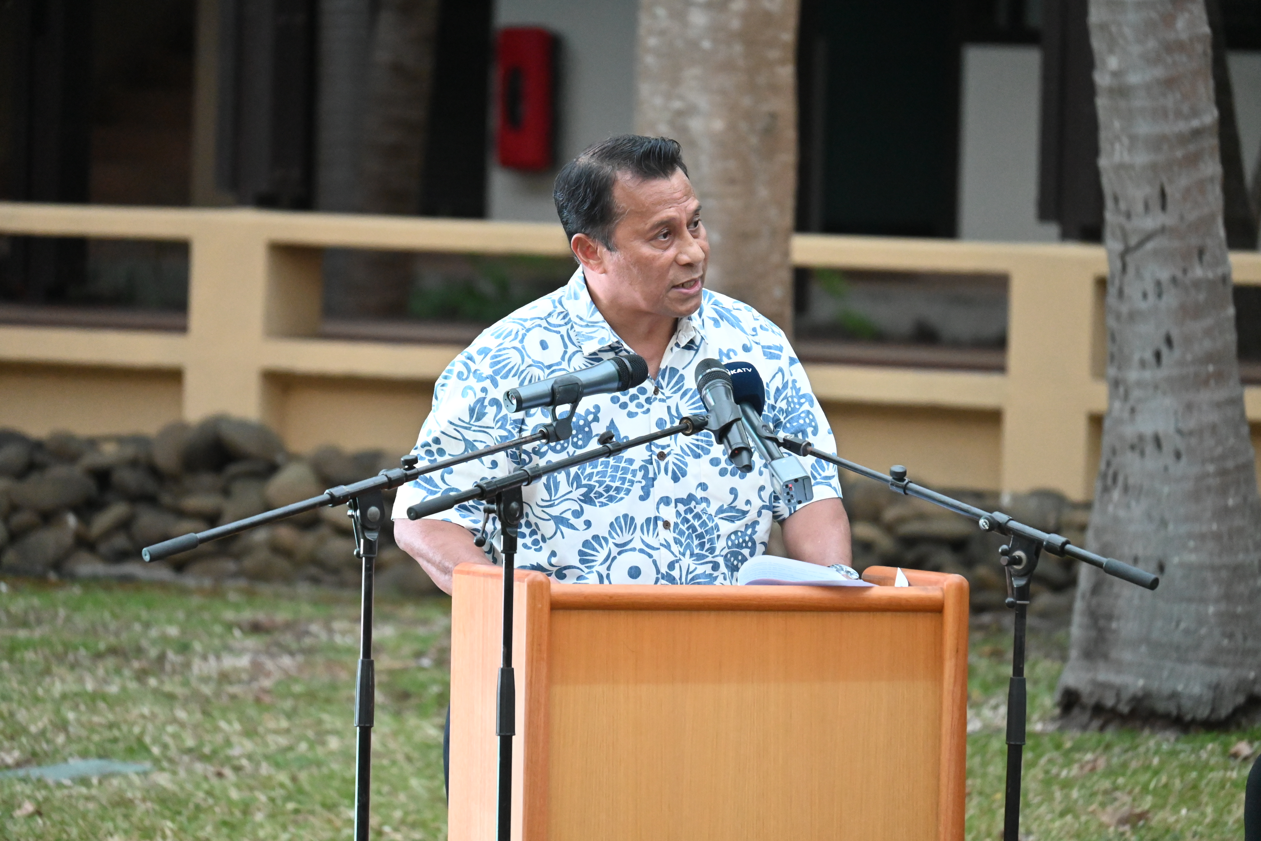
Tuvalu’s Minister of Justice, Communications and Foreign Affairs, Honourable Panapasi Nelesone, officially co-launched the programme, highlighting its value for his nation.
“Initiatives like Digital Earth Pacific are a lifeline for Tuvalu and our Blue Pacific. We are determined to use data and the power of Earth observations to safeguard our nation and our way of life in the face of climate change and rising sea levels.”
SPC Director General Dr Stuart Minchin thanked the countries for their commitment and support to building this system over the past three years. He said, “Digital Earth Pacific provides satellite imagery to make decisions and to track changes over our entire Blue Pacific for the first time. This new digital public infrastructure is now yours, showing your homes, your islands, and our vast Blue Pacific.”
The Pacific Community would like to acknowledge support from partners in making this landmark moment a reality notable to the New Zealand Government through its Climate Flagship anchor investment in SPC, the Deutsche Gesellschaft für Internationale Zusammenarbeit (GIZ), Microsoft and initial support provided by the National Oceanic and Atmospheric Administration (NOAA) and for D4DInsights for their contribution and efforts.
Digital Earth Pacific will now continue to evolve, providing more tools for countries to make informed decisions, such as tracking blue carbon or tracking illegal fishing in the Pacific in real time. This will require more investment from partners to scale the system over the coming years.
Useful links: