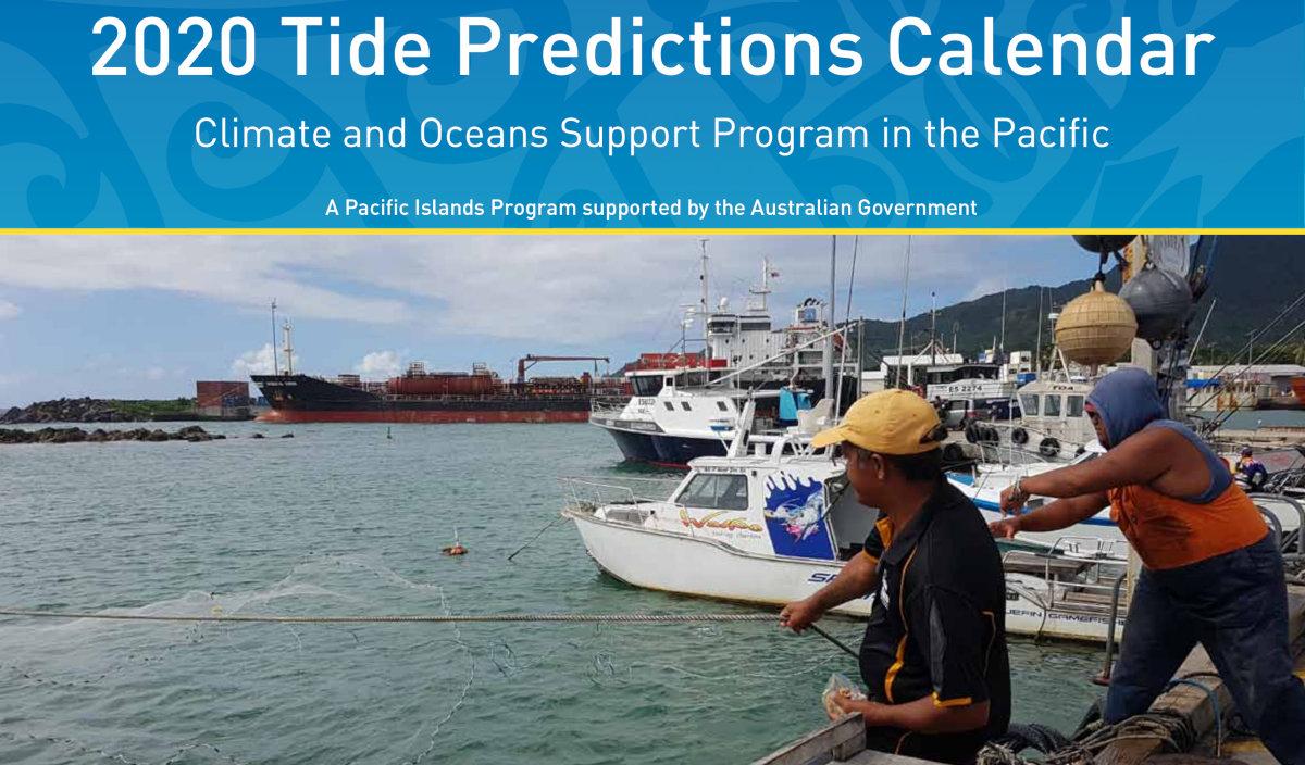
More than 1,900 Tide Prediction Calendars for 23 Pacific locations were distributed this week to National Meteorological Service offices and other coastal users around the region. These annual calendars are a popular product of the Australian-funded Climate and Oceans Support Program in the Pacific (COSPPac) and are designed and produced in the region by the Pacific Community (SPC)’s Geoscience, Energy and Maritime (GEM) Division.
From shipping companies and tourism operators, to local fishermen and disaster managers, tide calendars provide critical information for a range of users around the Pacific. A 2018 survey completed by 94 ocean focal points from 14 Pacific Island countries indicates that 84% of users consider the tide calendars to be a highly valuable resource for themselves or their work.
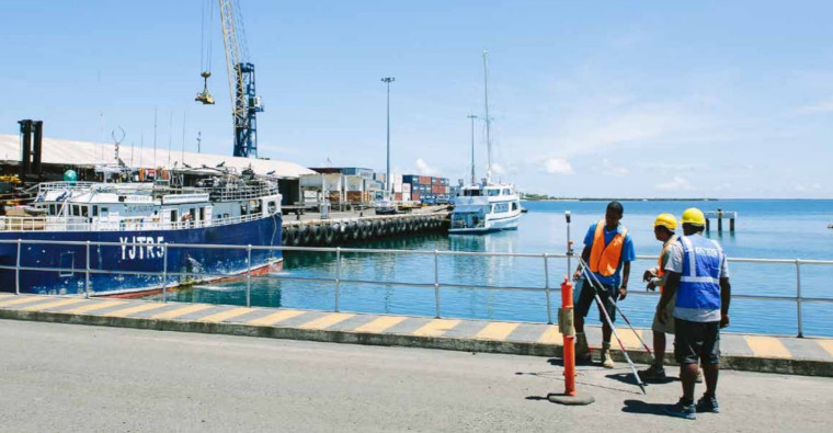
A port operator in Vanuatu reports uses the tide calendars to guide “ship loading and discharge for vessels entering both Port Vila and Luganville.”
“We use this calendar to plan our kite-surfing classes and ocean recreation activities,” says a Cook Islands-based tourism provider.
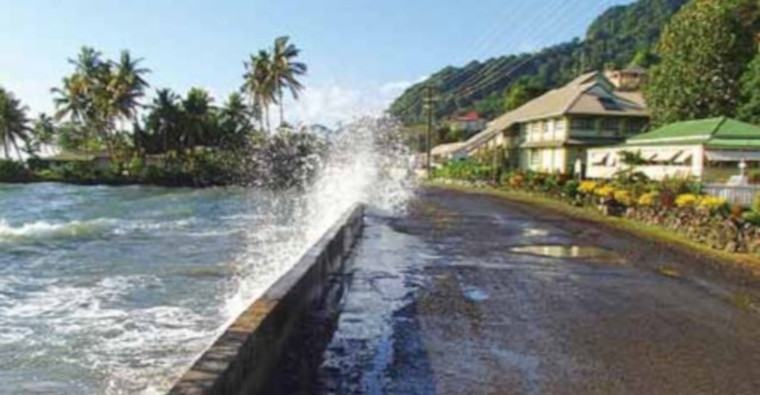
In Kiribati, a climate change resilience project officer uses the calendar to “analyse sea water intrusion into fresh groundwater lens and wells.” Kiribati Director of Meteorology, Mr Ueneta Toorua notes that the calendars are also used to issues warnings for extreme spring tide, or king tide, which can flood low-lying coastal zones.
Calendar predictions are calculated by the Australian Bureau of Meteorology’s Tidal Unit with information from the Pacific Sea Level and Geodetic Monitoring stations and a number of additional tide gauges around the region.
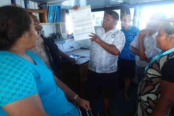
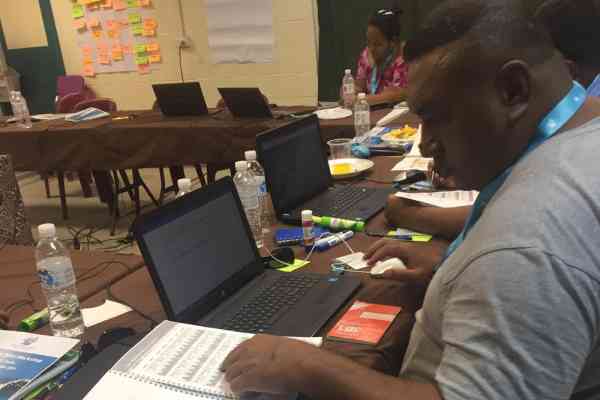
Pacific National Meteorological Services (NMS) typically serve as distributors of these calendars. In addition, to promote better understanding of this ocean information, nine NMSs have hosted in-country Ocean and Tides Workshops over the last four years.
In Vanuatu, Fiji, Solomon Islands, Cook Islands, Marshall Islands, Tuvalu, Tonga, Niue, and Samoa the workshops have brought together national focal points from fisheries, shipping, disaster, coastal planning, marine and ports, conservation, tourism, and other ocean-related sectors to learn about ocean science and discuss applications for ocean data such as tidal predictions.
Training includes analysis of the local Tide Prediction Calendar and discussion of tidal phases, attributes, and local tidal knowledge.
“As a marine biologist, better knowing how to access and interpret information about the tides, sea surface temperature, and sea level impacting our marine resources is very relevant to my fieldwork,” said Mr Peter Tiamua, of Vanuatu Fisheries Department.
2019 Tide Prediction Calendars are available for the following locations: Rarotonga, Cook Islands; Pohnpei Harbor, Federated States of Micronesia; Lautoka, Fiji; Suva, Fiji; Betio, Kiribati; Kanton, Kiribati; Kiritimati, Kiribati; Majuro, Marshall Islands; Aiwo, Nauru; Alofi, Niue; Malakal, Palau; Lombrum, Papua New Guinea; Port Moresby, Papua New Guinea; Apia, Samoa; Honiara Solomon Islands; Lata Wharf, Solomon Islands; Tarekukure Wharf, Solomon Islands; Nuku’alofa, Tonga; Neiafu, Tonga; Funafuti, Tuvalu; Vaitupu, Tuvalu; Port Vila, Vanuatu; Luganville, Vanuatu.
Predictions can also be downloaded from the Pacific Ocean Portal or the Australian Bureau of Meteorology website.
Useful Link:
http://oceanportal.spc.int/portal/library/
Media contact:
Molly Powers-Tora, Team Leader Ocean Literacy and Maritime Capacity | E: [email protected] or
T: +679 3249 350
|
|
|