Members of the Pacific Geospatial and Surveying Council (PGSC) recognise the critical importance of geospatial information management and have encouraged their respective countries to support the design, development, and implementation of the United Nations’ Integrated Geospatial Information Network (IGIF).
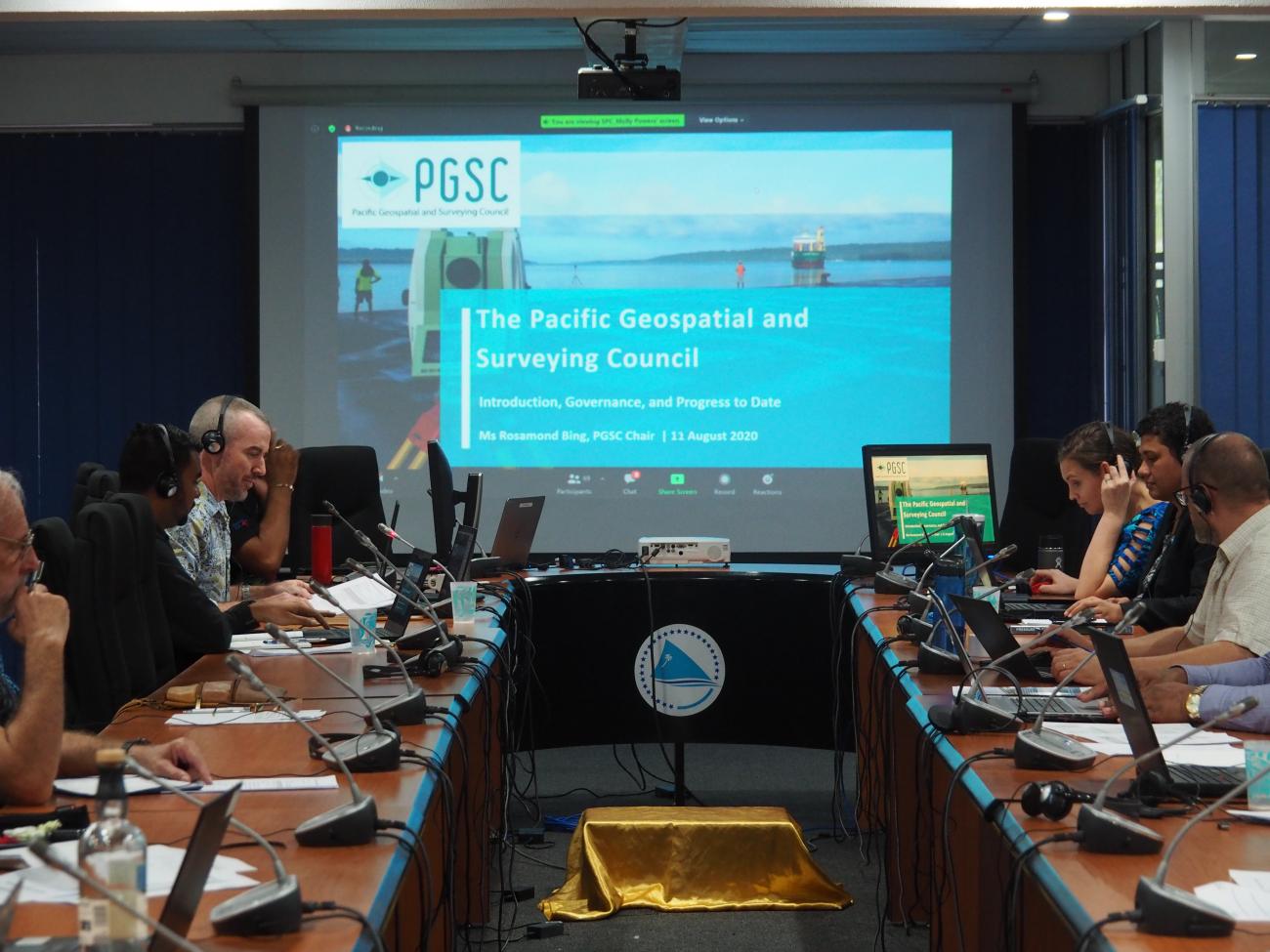
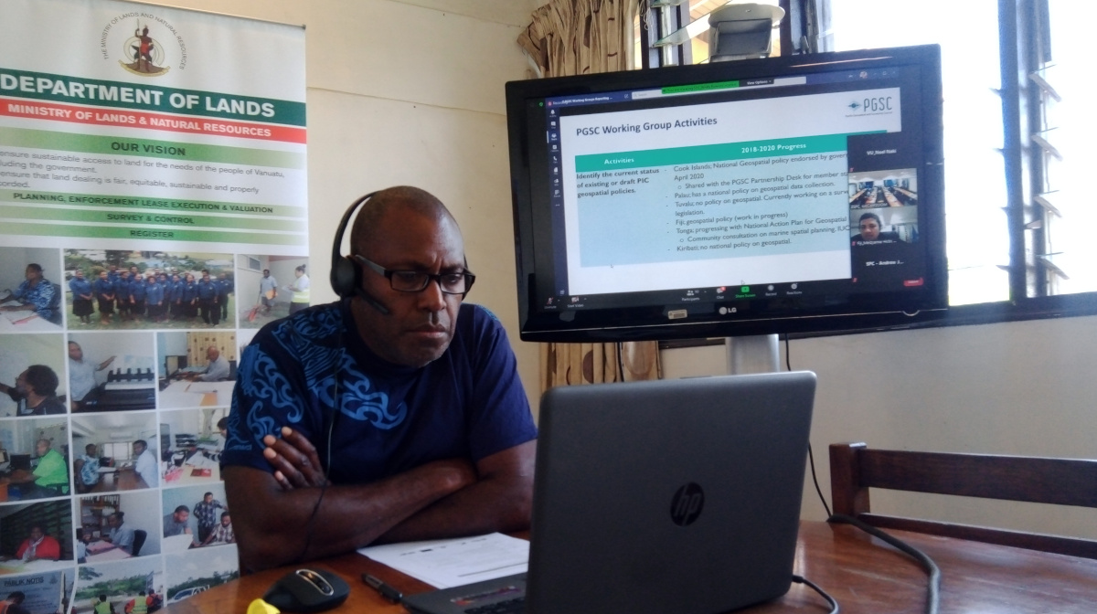
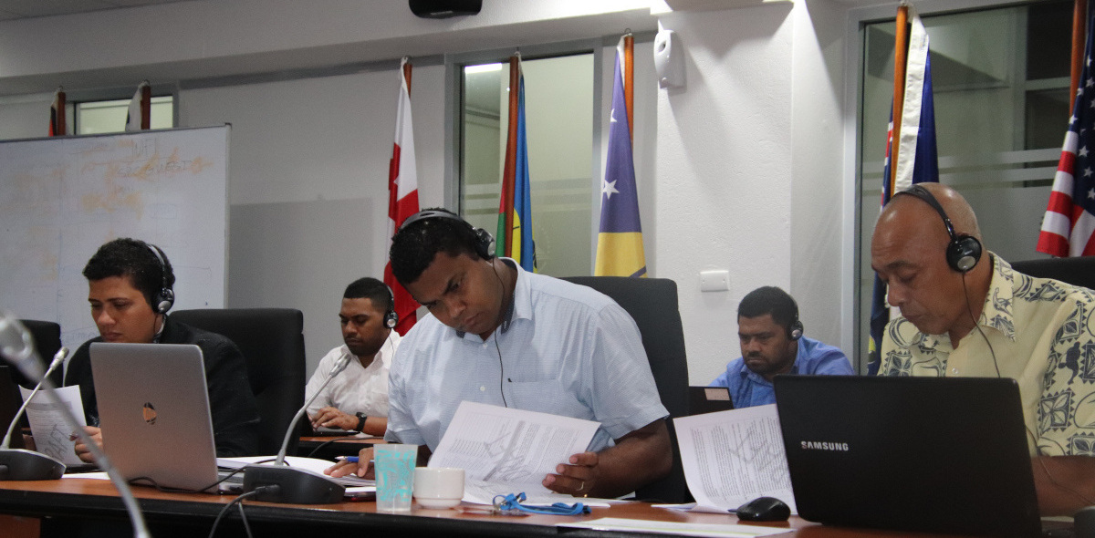
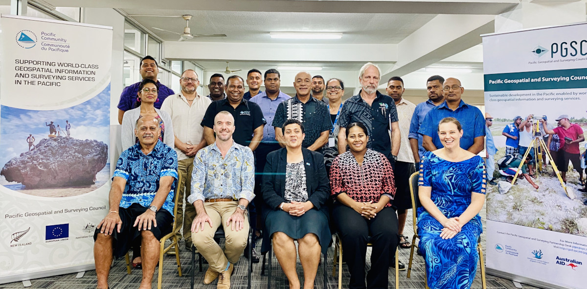
This is one of the outcomes of the 5th PGSC meeting held virtually from the 11th to 14th August. The PGSC is an independent regional advisory body that convenes every two years under normal circumstances.
In place of an in-person meeting, the online event served as an opportunity for Council members and partners to report, learn, collaborate, and plan on regional leadership, standards, technology, sustainability, and capacity development in line with the PGSC Strategy (2017-2027).
The meeting was hosted by the Pacific Community (SPC) Partnership Desk in Suva, Fiji, and a final endorsement session was held on 25th August.

At the outset of the meeting, the importance of geospatial information as a fundamental economic driver was emphasised.
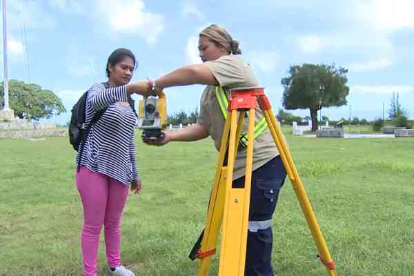
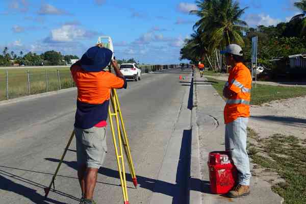
“One of the key challenges in the region is the lack of a modern reference frame. Eleven out of 14 Pacific island countries are still on local geodetic grids,” said Dr. Stuart Minchin, SPC’s Director General, while addressing the official opening of the PGSC.
A geodetic grid, also known as a reference frame or datum, is an imaginary reference point, line or level from which to identify location or height. Such positioning information is critically needed to analyse and solve social, economic, engineering, and environmental challenges.
“A local datum cannot support the new precise positioning technologies that are becoming available with applications for transport, agriculture, and city planning,” Dr. Minchin noted. “There are huge opportunities in this region but only if we work together to update our basic datums, and provide the systems, the tools, and the people that can support geospatial information.”
Pacific Leadership
The United Nations Committee of Experts on Global Geospatial Information Management (UN-GGIM) launched the IGIF initiative in 2018 to help support governments to develop and drive their own geospatial information management and update local datums to the Global Geodetic Reference Frame (GGRF).
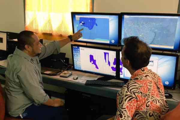
Since then, a number of Pacific Island countries have made significant progress toward this end. For example, the Cook Islands has passed a National Geospatial Policy, Kiribati has significantly expanded their drone survey capability, and Tuvalu has surveyed and mapped of all 9 islands- an important first step to align with the GGRF.
In addition, Fiji and Tonga have made significant national investments to upgrade their geodetic infrastructure and plan future geospatial developments. In the last year, both countries have launched pilot projects to develop national IGIF action plans with guidance from UNGGIM and additional support from Geoscience Australia, SPC, and the Australian-funded Climate and Oceans Support Program in the Pacific.
Dr. Greg Scott of UNGGIM highlighted the widespread support for the Pacific, “The IGIF has a requirement to support developing countries and Small Island Developing States (SIDS). It is about linking development priorities into national priorities, with the needs of governments and the needs of people.”
Open Forum
In the lead-up to the PGSC meeting, an online Open Forum was held over two days, attracting as many as 200 participants each day. Virtual panel discussions were also organised featuring inputs from international experts, regional partners and PGSC members on emerging opportunities for Geospatial & Survey Practice in the Pacific, Infrastructure Development, and Capacity Development.
The International Federation of Surveyors (FIG) has been another longstanding PGSC partner, and supporter of Pacific capacity development. FIG President, Professor Dr. Rudolf Staiger noted, “We recognise and congratulate the Pacific Geospatial Surveying Council for their activities in the field of capacity development and in strengthening the Pacific geospatial infrastructure and the utilisation of the integrated geospatial information framework to address economic and technical challenges.”
Outcome Statement
The 5th PGSC endorsed an Outcome Statement encouraging Council members to become members of the Group on Earth Observations (GEO) and for the PGSC to be the collective regional voice for Earth Observations in the Pacific.
The statement also recommends formalising working relationships with regional tertiary institutions and organisations, and commits to sustain capacity development opportunities through the global pandemic by providing support via online platforms.
In closing the 5th PGSC meeting, the Chairperson and CEO of Tonga’s Ministry of Land and Natural Resources, Ms. Rosamond Bing, emphasised the importance of working together during the COVID-19 pandemic. Ms Bing and Deputy Chair, Ms. Meizyanne Hicks, Fiji’s Director Geospatial, will continue in their roles until the next Council meeting.
Ms Bing said, “We are glad to ensure the ongoing commitment of the Chair and Vice Chair for the next two years given the present challenges.”
Links:
For more information, contact:
Merana Kitione, Capacity Development & Communications Officer, Pacific Community (SPC) | [email protected]