In partnership with ISEE New Caledonia, SDD presents PopGIS3 Nouvelle-Calédonie: a powerful mapping tool for exploring data from the New Caledonia 2019 Population and Housing Census. It allows users without GIS experience to make and share maps at a range of geographic levels. Its very user friendly and compatible with tablets and smartphones.
Discover its different features:
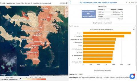
- Select indicators from the main themes
- Import your data to map or compare with existing indicators
- Create and edit your custom maps
- Download summary reports which contain tables and graphs
Go to PopGis3 New Caledonia
Division
Country